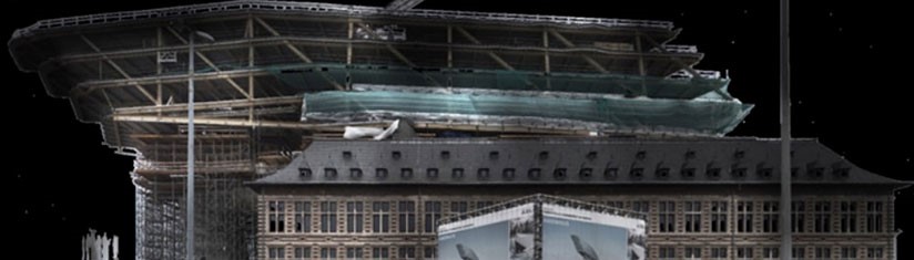
'Close Range' photogrammetry
Think of monuments, listed façades, buildings, hard to reach places ...
The 'total-station', equipped with internal camera, takes a photo and records the measuring point. This creates a digital photo, with every point known in coordinates. Combining the measurements and photos results in a complete 3D model of the measured object. This model can be completed with photos of a professional camera and even photos from the air using an UAV helicopter. By using 18 or even 36 megapixel cameras very great accuracy can be obtained. You can use the computer model for measurements or drawings.
Give us information, then we can discuss your project no strings attached.